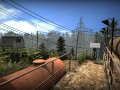
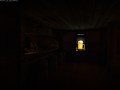
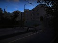
INFRA puts you into the boots of a structural analyst on a routine mission. Quickly though, your task turns into a fight for survival, all caused by deep-rooted schemes of the past. Your tools are simple: your camera and the wits to navigate a labyrinth of debris.
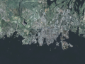
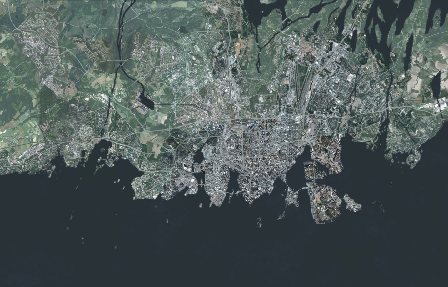
Satellite imagery
(view original)

Post a comment
Description
Fictional satellite picture of the city.
google earth lol :P
Not really :P
Just some irony and noob imitation here dont worry :D
(buried)
И в чём же здесь фишка и подвох?
Looks nice. I'm not sure if it's been asked before, but will there be a sort of "GPS" or Minimap that players can use to tell their location? I assume it would look similar to this if there was.
Maybe we could add something like that to player's smartphone.
Actually thats a damn good idea! We'll be definedly using somekind of tracking for players path. And in more open and larger maps player has more highresolution imagery available.
We also thought about adding other apps to the smartphone, like notes and calculator, so the player doesn't need to use those IRL if he/she doesn't want to.
Notes, yes.
Yesyesyes.
Yes.